Airborne Surveying, Gravity & Magnetic Interpretation
Innovation in airborne surveying, gravity, and magnetic interpretation has revolutionized the field of geophysics and exploration. These cutting-edge advancements have significantly improved our ability to study the Earth’s subsurface, leading to better resource exploration, geologic mapping, and environmental monitoring. Let’s explore some of the key innovations that have shaped this domain:
- High-resolution Airborne Surveying: Traditional airborne surveying methods involved flying at relatively high altitudes, resulting in data with limited resolution. However, advancements in sensor technology and navigation systems have enabled modern aircraft to conduct low-level surveys with greater accuracy and detail. High-resolution airborne LiDAR (Light Detection and Ranging) systems, laser scanners, and hyperspectral imaging have become pivotal tools for acquiring precise topographic data and detecting subtle geological features.
- Unmanned Aerial Vehicles (UAVs): The integration of unmanned aerial vehicles, commonly known as drones, in airborne surveying has been a game-changer. UAVs equipped with various geophysical sensors can access hard-to-reach areas, such as dense forests, steep terrains, or hazardous environments, to collect data with exceptional accuracy. Their flexibility and cost-effectiveness make them a preferred choice for regional mapping and environmental monitoring.
- Advanced Gravity Surveying Techniques: Gravity surveys measure the variations in Earth’s gravitational field to understand subsurface density variations. Innovations in gravimeters have led to highly sensitive and stable instruments capable of detecting minute changes in gravity. Additionally, combining GPS technology with gravity surveys allows for precise positioning, enhancing the overall quality and interpretability of the data.
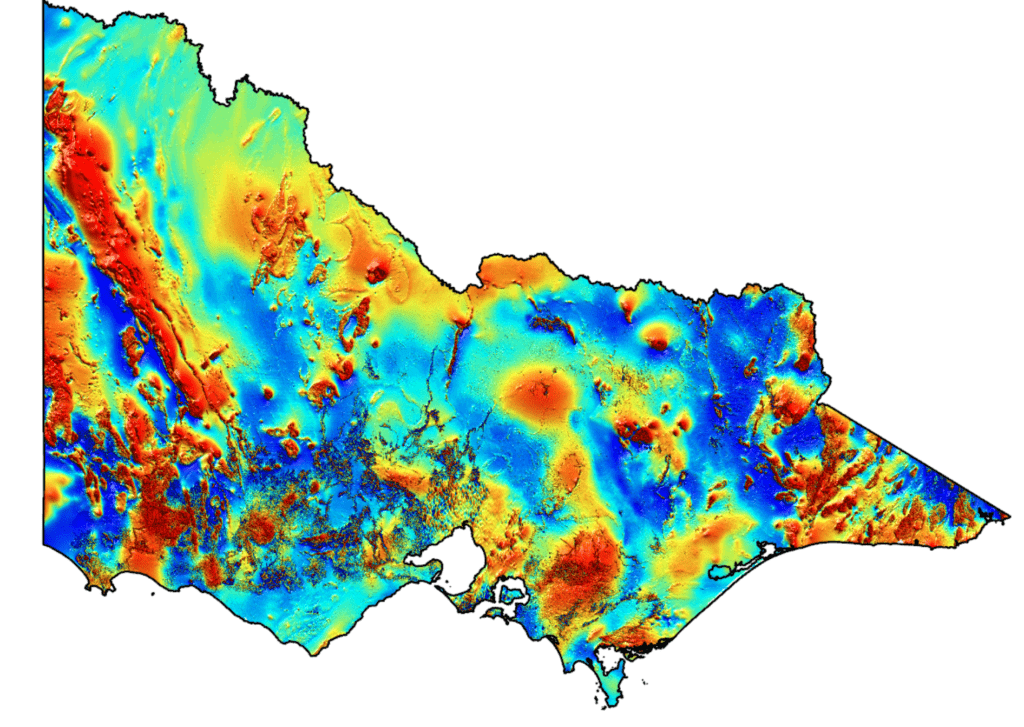
- Magnetic Interpretation Software: The analysis of magnetic anomalies helps identify subsurface geological structures and mineral deposits. With the advent of sophisticated magnetic interpretation software, geophysicists can process and interpret magnetic data more efficiently. These tools use advanced algorithms and 3D modeling techniques to create detailed subsurface maps, aiding in mineral exploration and oil and gas prospecting.
- Airborne Electromagnetic (EM) Surveys: Airborne EM surveys have gained popularity due to their ability to map subsurface resistivity variations. This technique is particularly useful in groundwater exploration, environmental assessment, and identifying conductive mineral deposits. The development of multi-coil systems and improved EM sensors has led to enhanced survey sensitivity and accuracy.
- Integrated Data Analysis: One of the most significant innovations in recent years is the integration of various geophysical datasets. Combining gravity, magnetic, and other geophysical data, along with geological and geochemical information, helps create comprehensive models of the subsurface. Advanced data fusion techniques and machine learning algorithms play a crucial role in this integration, providing a clearer understanding of subsurface features and reducing exploration risks.
- Real-time Data Transmission: With the improvement of communication technologies, geophysical data collected during airborne surveys can now be transmitted in real-time to processing centers on the ground. This allows for on-the-fly data quality assessment and quicker decision-making during survey missions, improving efficiency and reducing costs.
In conclusion, the ongoing innovation in airborne surveying, gravity, and magnetic interpretation continues to reshape the geophysics landscape. These advancements not only enhance our understanding of the Earth’s subsurface but also drive forward resource exploration, environmental monitoring, and geological research. As technology continues to evolve, we can expect even more sophisticated techniques and tools to unlock the secrets hidden beneath the surface of our planet.
At AhBe Global, we work with expert consultants worldwide to offer a complete airborne magnetic and gravity surveying to the oil & gas and minerals industry. Please contact us at info@ahbeglobal.com with any questions.